Subject

Schuylkill River

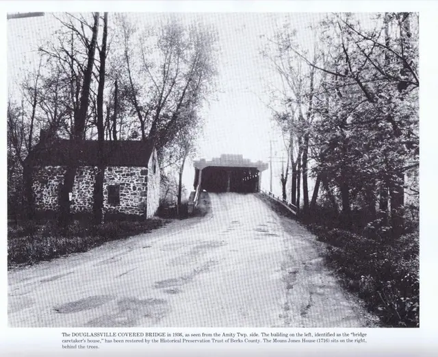
Morlatton Village, exterior of eastern bridge portal (1936)
Photos 1003.01.053

Exterior of eastern bridge portal

Morlatton · 1936 (1984)

Digital image of an east perspective view of the covered bridge and Michael Fulp (Bridge Keeper's) House. This photo is from "The Passing Scene," vol. 3, page 202, by George Meiser, IX and Gloria Meiser published in Reading, 1984, and is included here with the generous permission of George Meiser IX. Image #2 is another early 20th century

View record
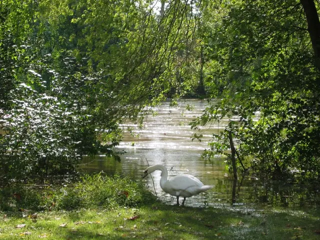
Schuylkill River levels at Morlatton Village, October 1, 2010 (image#1)
Photos 1003.01.052

Schuylkill River over banks

Morlatton · 10/01/2010

Series of four color digital photographs showing water levels after heavy rainfall on September 30 & October 1, 2010. From mid-morning on September 30, 2010 through mid-morning October 1st, six inches of rain fell in the Schuylkill River channel at Pottstown, PA, as measured at the United States Geological Survey (USGS) Station located 75 feet upstream from

View record
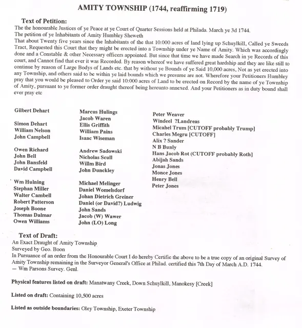
Morlatton Village, transcript of Amity Township Petition, image #1 (1744)
Documents 1003.01.061

Transcript of 1744 Petition to create Amity Townwship and survey map; also plot plan and survey “draught” of Swedes’ Tract

Morlatton · 03/03/1744; plot plans undated

Series of six digital images: a transcript of the second Petition [the first one was described as “lost”] to establish Amity Township, the accompanying survey drawing. Image #3 and #4 show the original approximately 10,000 acre Penn Grant of the “Swedes Tract” to the Swedish Lutheran Pastor Andreas Rudman, to be divided into parcels for conveyance [by “warra

View record